|
|
| Below is a selection of maps I have found useful in determining when and where I will chase severe weather within Iowa and nearby States. Organizations like the Storm Prediction Center (SPC) and the National Weather Service (NWS) provide great forecast tools like these maps to the public. Often times, I will use additional weather maps from the SPC that are too numerous and complex for most visitors' use to have linked on this site. Some are also beyond my full understanding. However, all this information helps form my predications a few days to just hours in advance of a severe weather event.
With all the information available online, it can only be used as a starting point in determining where severe weather, especially tornadoes, may occur. It is vitally important not to forget to take a look and feel outside your own door. What you experience in the open air and see in the sky is most important in the short-term forecasts you can make. It is even more important when you are in your vehicle, racing into storms, and have to make that last minute decision on which cell you are going to chase. I hope this catalog of maps will aid you in your own chase, or merely be a quick source of information for your own safety. |
|
|
|
 |
 |
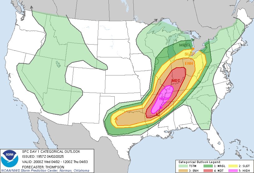
SPC 1 Day Convective Outlook 2:00 PM CST |
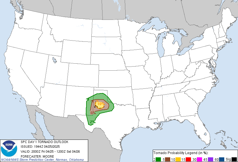
SPC 1 Day Tornado Probability Outlook 2:00 PM CST |
 |
 |
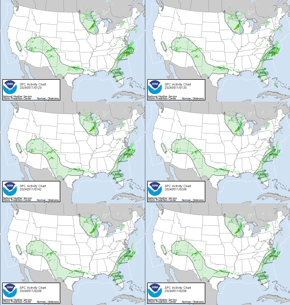
SPC Overview |
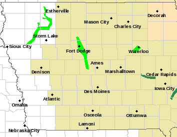
SPC Watches and Warnings |
 |
 |
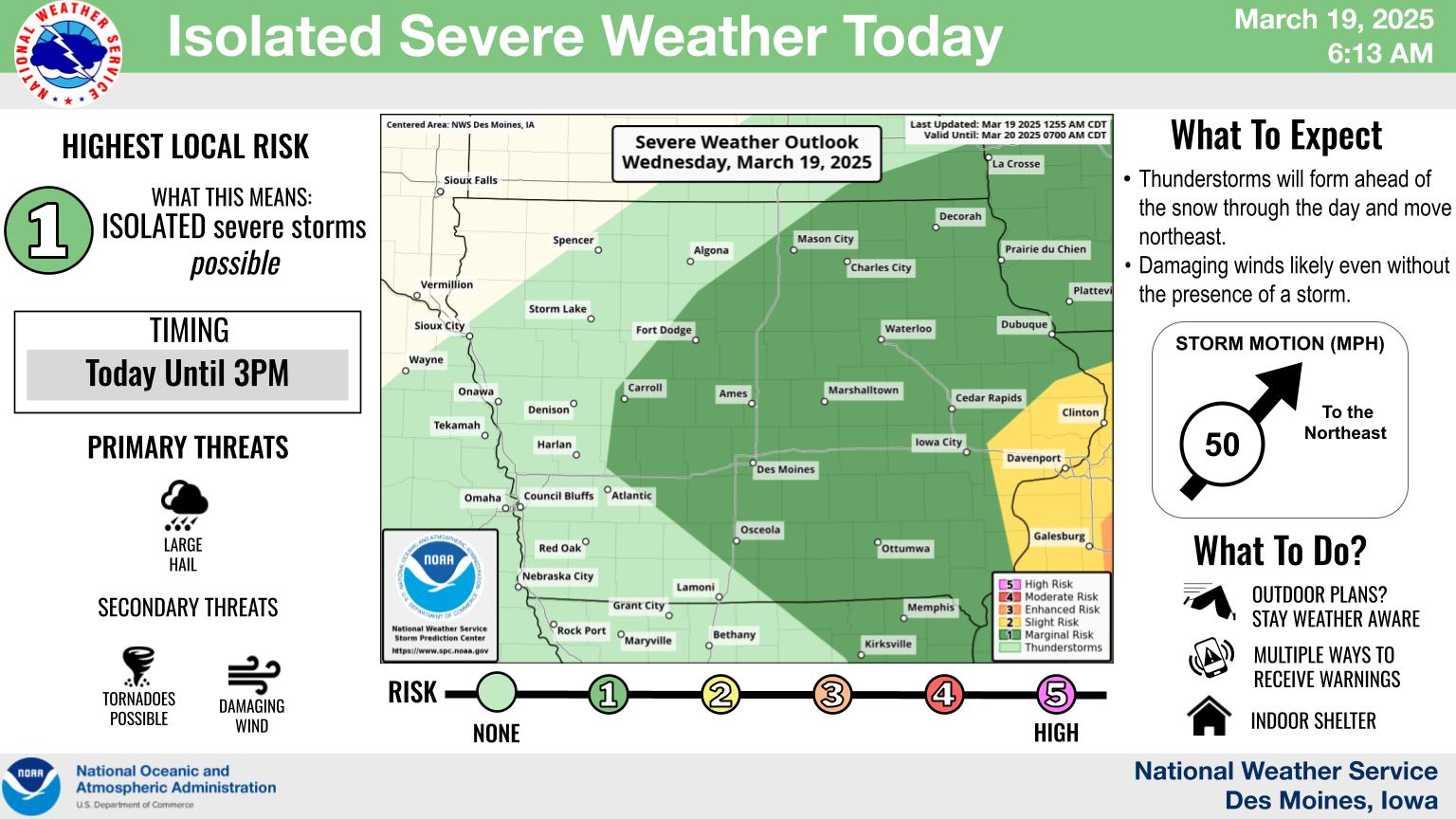
NWS Des Moines Weather Story |
Watches, Warnings, and Advisories |
 |
 |
DMX Nexrad Base Reflectivity Radar |
DMX Nexrad Base Velocity Radar |
 |
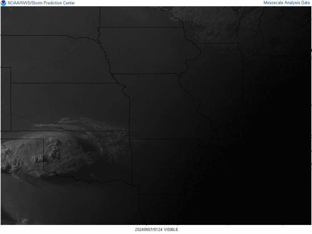 |
NOAA Visible Satellite Central Plains |
NOAA Visible Satellite Midwest |
 |
 |
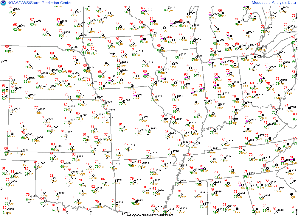
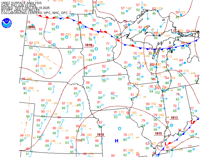
SPC Surface Observations |
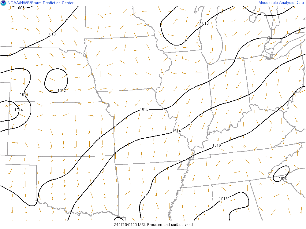
SPC Surface/Wind/Pressure |
|
|
 |
 |
NOAA Water Vapor |
|
 |
 |
Other Helpful Links |
|
Content and media ©1996-2020 CLARENCE SMITH
|
|


